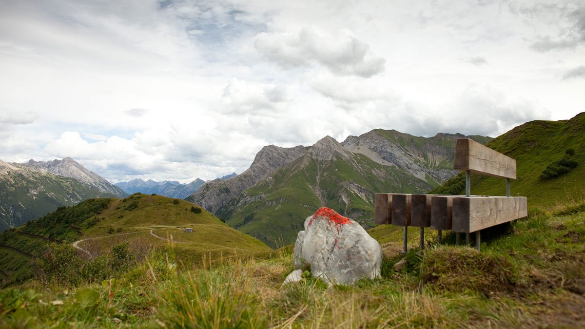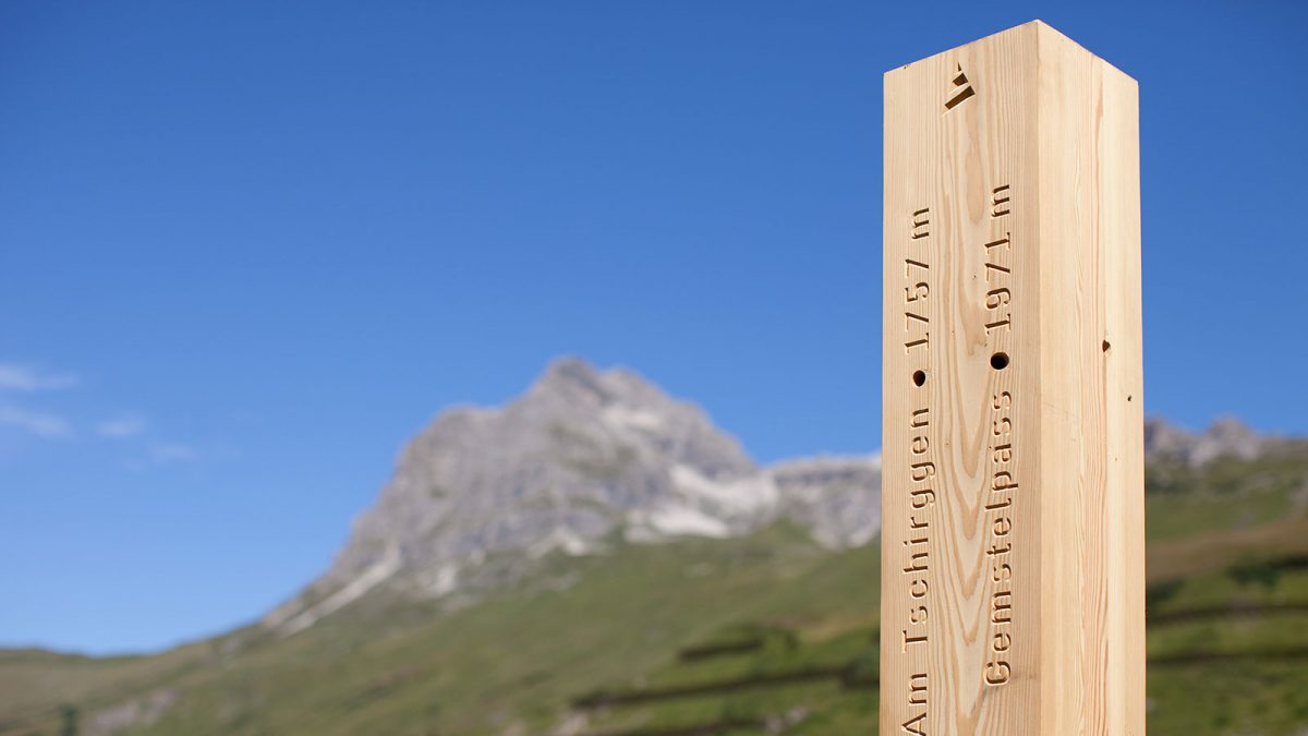
The Tannberg forms the axis between Bregenzerwald, Arlberg and Lechtal. The Walser tribunal which gave the regions its name and which, after the arrival of the Walser in the region, unified the three towns of Lech, Warth and Schröcken for centuries, used to convene there. Information about the special qualities and the shared history of this region was to be conveyed at specially selected points and routes for hikers and had to be suitable for exposed locations at a height of up to 2000 metres above sea level, where weather conditions can be extreme.
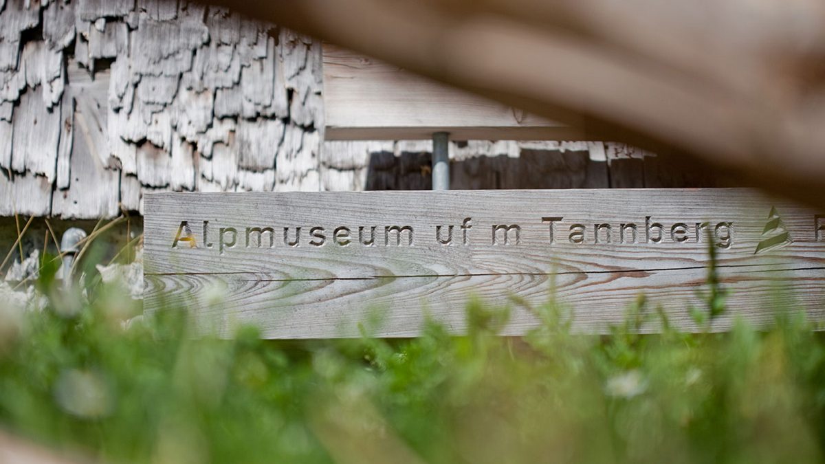
Instead of a conventional signage system the concept is based on benches and »look-out areas« made from planed, untreated larch that carry CNC-milled lines of lettering – no artificial colours, materials or signs. The combination of plain wooden benches with interesting messages gives the individual elements a great real – and also symbolic – effectiveness. Surround by a stunningly beautiful landscape, the users learn worthwhile information and short histories of each specific location. In-depth information that augments the core messages is given on an interactive hiking map with dynamically programmed cartography.